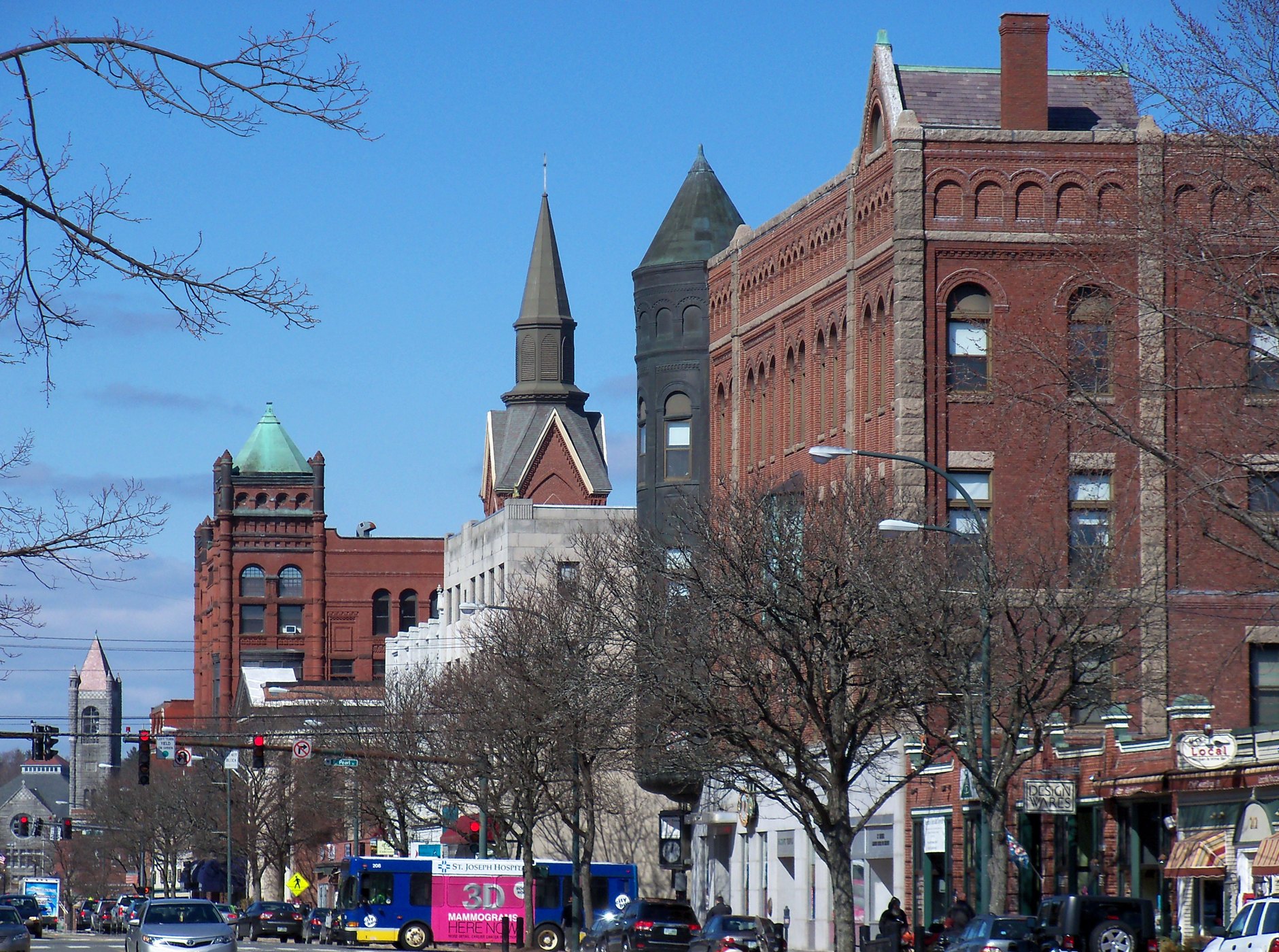
Nashua NH Main Street 50

Outdoors

Biking and mountain biking near Nashua

Trails and recreation areas near Nashua open to biking and mountain biking.

12places to ride
24 mito the closest
1within 30 miles
March–Novemberbest months

Good to know: Wilderness areas are closed to bikes; check each area’s trail rules and yield to hikers and horses.

Closest picks

1

Assabet River National Wildlife Refuge

24 mi south · Fish and Wildlife Service

to Assabet River National Wildlife Refuge! Located in the towns of Sudbury, Stow, Maynard and Hudson, and just 20 miles west of Boston, Assabet River NWR is one of eight national wildlife refuges that comprise the Eastern Massachusetts…

2

Elm Brook Park Rec Area

33 mi north · US Army Corps of Engineers

Elm Brook Park is a day-use area located on Elm Brook Pool just off State Route 127 near Concord, New Hampshire.

3

Hopkinton-Everett Lake

33 mi northwest · US Army Corps of Engineers

One of two lakes combined to form the largest flood control project in New England is located near Concord.

Map of all 12 places

Map of 12 places loads as you scroll.

Within 30 miles (1)

24 mi south · Fish and Wildlife Service

Assabet River National Wildlife Refuge

to Assabet River National Wildlife Refuge! Located in the towns of Sudbury, Stow, Maynard and Hudson, and just 20 miles west of Boston, Assabet River NWR is one of eight national wildlife refuges that comprise the Eastern Massachusetts…

  • Biking
  • Birding
  • Cross Country Skiing
  • Fishing
  • Hiking
  • Hunting
  • Photography
  • Snowshoeing

30 to 75 miles (11)

33 mi north · US Army Corps of Engineers · Campground

Elm Brook Park Rec Area

Elm Brook Park is a day-use area located on Elm Brook Pool just off State Route 127 near Concord, New Hampshire.

  • Birding
  • Boating
  • Camping
  • Canoeing
  • Educational Programs
  • Fishing
  • Hiking
  • Kayaking

33 mi northwest · US Army Corps of Engineers

Hopkinton-Everett Lake

One of two lakes combined to form the largest flood control project in New England is located near Concord.

  • Biking
  • Boating
  • Fishing
  • Hiking
  • History
  • Nature education
  • Off-highway vehicles
  • Picnicking

33 mi east · Fish and Wildlife Service

Parker River National Wildlife Refuge

The refuge was established in 1941, and today consists of more than 4,700 acres of diverse upland and wetland habitats including sandy beach and dune, maritime shrubs and forests, cranberry bogs, man-made impoundments, salt marsh and…

  • Beach
  • Biking
  • Boating
  • Educational Programs
  • Fishing
  • Hiking
  • Hunting
  • Non-Motorized Boating

38 mi west · US Army Corps of Engineers · Campground

Tully Lake Recreation Area (Ma)

The U.S. Army Corps of Engineers invites you to come relax at Tully Lake. There are a variety of outdoor recreation activities for you and you family.

  • Biking
  • Camping
  • Hiking
  • Wildlife viewing

39 mi south · National Park Service

John H. Chafee Blackstone River Valley National Heritage Corridor

The Blackstone River runs from Worcester, MA to Providence, RI. Its waters powered the Slater Mill in Pawtucket, RI, America's first successful cotton spinning mill.

  • Biking
  • Boating
  • Camping
  • Fishing
  • Hiking
  • History
  • Paddling
  • Wildlife viewing

44 mi south · US Army Corps of Engineers · Campground

West Hill Park

On a quiet back road and across an old fieldstone bridge lies West Hill Park, where the West River widens to form a large, natural pool.

  • Biking
  • Boating
  • Camping
  • Fishing
  • Hiking
  • Hunting
  • Ranger programs
  • Swimming

48 mi southwest · US Army Corps of Engineers · Campground

Buffumville Lake (Group Shelter)

In 1958 the U.S. Army Corps of Engineers built Buffumville Dam in Charlton, Massachusetts to provide flood risk management for downstream communities.

  • Birding
  • Boating
  • Camping
  • Disc Golf
  • Fishing
  • Guided Interpretive Walks
  • Hiking
  • Hunting

55 mi southwest · US Army Corps of Engineers · Campground

Westville Recreation Area

Westville Lake is situated on the Quinebaug River in the towns of Southbridge and Sturbridge, Massachusetts.

  • Biking
  • Boating
  • Camping
  • Hiking
  • Winter sports

65 mi west · US Army Corps of Engineers · Campground

Townshend Lake Recreation Area

Townshend Lake is a flood control project operated by the U.S. Army Corps of Engineers, serving communities within the West River Valley, and those downstream.

  • Biking
  • Birding
  • Camping
  • Canoeing
  • Cross Country Skiing
  • Fishing
  • Hiking
  • Kayaking

73 mi northwest · US Army Corps of Engineers · Campground

Winhall Brook Camping Area

Winhall Brook Camping Area is nestled in the Green Mountains of Vermont along Winhall Brook and the West River, seven miles north of Ball Mountain Lake.

  • Biking
  • Birding
  • Camping
  • Cross Country Skiing
  • Evening Programs
  • Fishing
  • Hiking
  • Mountain Biking

75 mi west · US Army Corps of Engineers · Campground

Indian Hollow

With abundant wildlife, lush scenery and waterfront views, Indian Hollow Group Campground, located at the Knightville Dam and Reservoir, offers groups and clubs a recreational oasis.

  • Birding
  • Camping
  • Fishing
  • Hiking
  • Horseback riding
  • Hunting
  • Mountain Biking
  • Star Gazing

Distances are straight-line miles from the center of Nashua. Listings come from Recreation.gov’s federal recreation database; check each official page for hours, fees, fire restrictions and closures before you go.

Get outside around Nashua

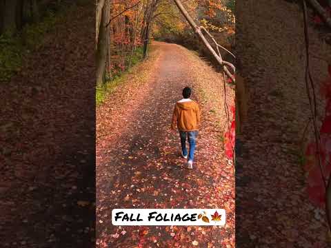
Fall foliage at Mine Falls Park video thumbnail

THINGS TO DO · YOUTUBE SHORT

Fall foliage at Mine Falls Park

Autumn color along the paths of Mine Falls Park beside the Nashua River.

Watch on YouTube ↗
Nashua's Holiday Stroll video thumbnail

THINGS TO DO · YOUTUBE SHORT

Nashua's Holiday Stroll

Crowds downtown for Nashua's annual Holiday Stroll in 2022.

Watch on YouTube ↗

More outdoors near Nashua

Questions

Where is the closest place for biking near Nashua?

Assabet River National Wildlife Refuge (Fish and Wildlife Service), about 24 miles south of Nashua as the crow flies. Next are Elm Brook Park Rec Area (33 mi) and Hopkinton-Everett Lake (33 mi).

When is the best time for biking near Nashua?

Based on Nashua’s average highs, March–November. Conditions at higher elevations can be much cooler.

Who manages these places?

Federal agencies including US Army Corps of Engineers, Fish and Wildlife Service, National Park Service. Each listing links to its official page for hours, fees, closures and current conditions.

Nashua AI

Your Nashua local guide
Hey there!

I'm Nashua AI. Ask about neighborhood food, independent shops, local history or planning a visit.

AI recommendations may be inaccurate. Verify hours and prices. Questions are processed by Cloudflare. Privacy