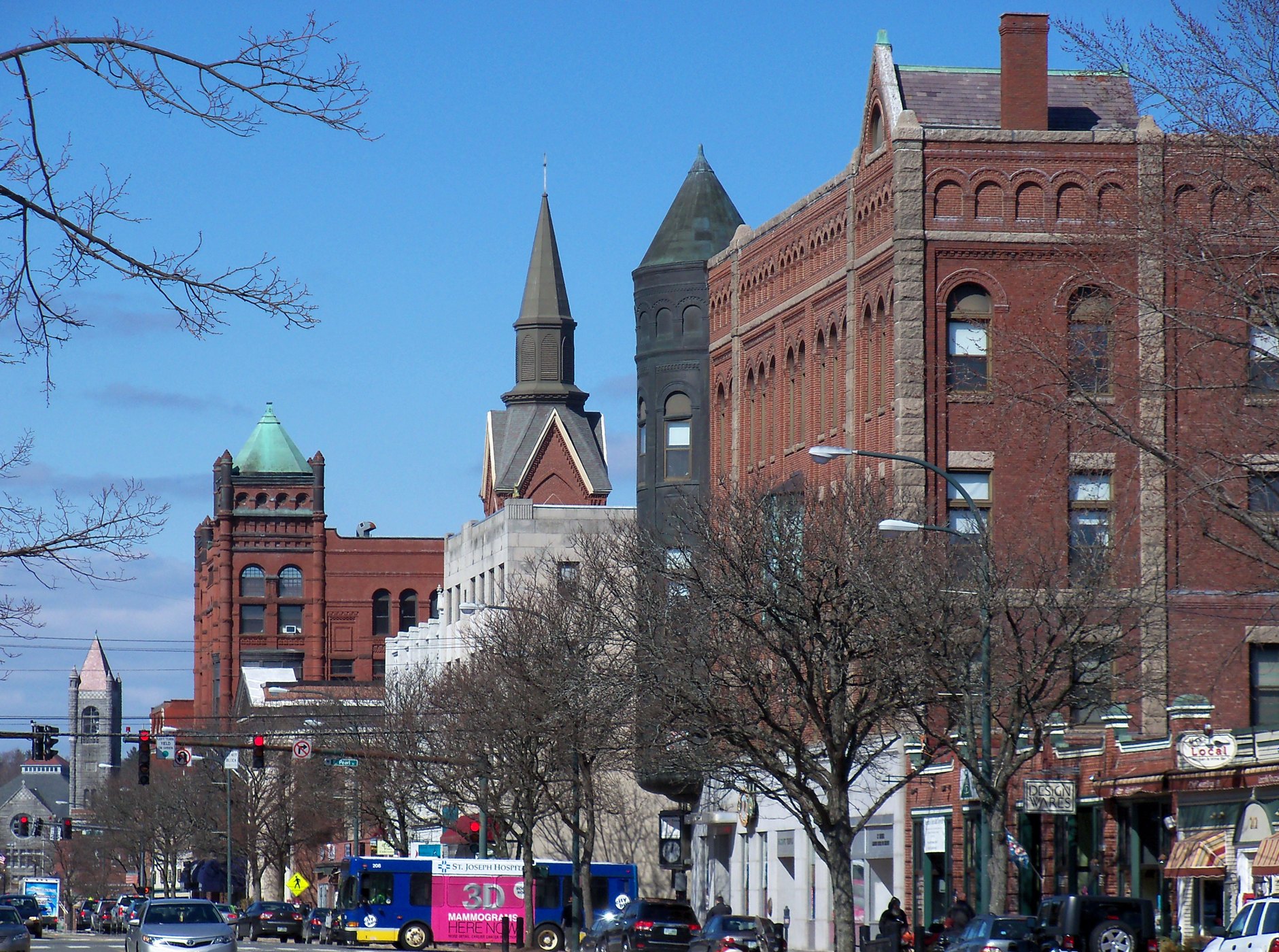
Nashua NH Main Street 50

Outdoors

Picnic spots near Nashua

Day-use and picnic areas near Nashua on public land, from quick drives to full-day outings.

17picnic areas
27 mito the closest
2within 30 miles
May–Octoberbest months

Good to know: Group picnic sites can often be reserved; fire rules change with the season, so check before bringing a grill.

Closest picks

1

Edward MacDowell Lake

27 mi west · US Army Corps of Engineers

A picturesque recreation area located near Peterborough, this facility is named after the famous composer and concert pianist, Edward Alexander MacDowell. In 1907 his wife, Marian, established the MacDowell Colony for artists.


2

Edward MacDowell Lake Day Use Facilities

27 mi west · US Army Corps of Engineers

Edward MacDowell Lake is situated in a quiet corner of the Monadnock Region of New Hampshire.

3

Birch Hill Dam

33 mi west · US Army Corps of Engineers

This 82-acre natural lake boasts the Lake Dennison Recreation Area, offering picnic areas, hunting, hiking, campgrounds and a swimming beach managed by the Commonwealth of Massachusetts.

Map of all 17 places

Map of 17 places loads as you scroll.

Within 30 miles (2)

27 mi west · US Army Corps of Engineers

Edward MacDowell Lake

A picturesque recreation area located near Peterborough, this facility is named after the famous composer and concert pianist, Edward Alexander MacDowell. In 1907 his wife, Marian, established the MacDowell Colony for artists.

  • Boating
  • Hiking
  • Nature education
  • Picnicking
  • Water sports
  • Wildlife viewing
  • Winter sports

27 mi west · US Army Corps of Engineers · Campground

Edward MacDowell Lake Day Use Facilities

Edward MacDowell Lake is situated in a quiet corner of the Monadnock Region of New Hampshire.

  • Birding
  • Boating
  • Camping
  • Canoeing
  • Fishing
  • Hiking
  • Kayaking
  • Picnicking

30 to 75 miles (14)

33 mi west · US Army Corps of Engineers

Birch Hill Dam

This 82-acre natural lake boasts the Lake Dennison Recreation Area, offering picnic areas, hunting, hiking, campgrounds and a swimming beach managed by the Commonwealth of Massachusetts.

  • Boating
  • Nature education
  • Picnicking
  • Water sports
  • Wildlife viewing
  • Winter sports

33 mi northwest · US Army Corps of Engineers

Hopkinton-Everett Lake

One of two lakes combined to form the largest flood control project in New England is located near Concord.

  • Biking
  • Boating
  • Fishing
  • Hiking
  • History
  • Nature education
  • Off-highway vehicles
  • Picnicking

35 mi southwest · US Army Corps of Engineers

Barre Falls Dam

The Mid-State Hiking Trail traverses the park and provides easy access to this popular local hiking activity. Picnicking, canoeing, fishing and hunting are popular summer sports.

  • Boating
  • Horseback riding
  • Nature education
  • Picnicking
  • Water sports
  • Wildlife viewing

38 mi west · US Army Corps of Engineers

Tully Lake

Tully Lake is a 1300-acre flood control project completed in 1949. The reservoir area is rich with natural beauty and outdoor recreation. A tents-only campground with 35 sites lies on the north side of the 200-acre lake.

  • Boating
  • Picnicking
  • Water sports
  • Wildlife viewing

40 mi west · US Army Corps of Engineers

Otter Brook Lake

This picturesque lake prohibits the use of gasoline motorboats. Trout are stocked both above and below the dam by the State.

  • Boating
  • Nature education
  • Picnicking
  • Water sports
  • Wildlife viewing
  • Winter sports

40 mi west · US Army Corps of Engineers · Campground

Otter Brook Lake Recreation Area

Otter Brook Lake Recreation Area is a U.S. Army Corps of Engineers day use facility offering many outdoor recreation opportunities everyone can enjoy. The park is located in Keene and Roxbury, New Hampshire.

  • Birding
  • Boating
  • Camping
  • Canoeing
  • Cross Country Skiing
  • Disc Golf
  • Fishing
  • Hiking

41 mi north · US Army Corps of Engineers

Blackwater Dam

One of the oldest dams in New England, this small facility near Webster provides some of the best kayak waters in the country during spring releases. It is the site of sanctioned events each year and has hosted Olympic pre-trials.

  • History
  • Picnicking
  • Wildlife viewing

45 mi south · US Army Corps of Engineers

West Hill Dam

Families of all ages enjoy swimming in a small natural pool, picknicking, hiking and biking the trails, and the challenges of the accessible playground.

  • Hiking
  • Nature education
  • Picnicking
  • Wildlife viewing

46 mi northwest · US Army Corps of Engineers

Surry Mountain Lake

The Ashuelot River offers fishing for bass and stocked trout. The lake is limited to 10-hp engines on vessels.

  • Boating
  • Hiking
  • Nature education
  • Picnicking
  • Water sports
  • Wildlife viewing
  • Winter sports

46 mi northwest · US Army Corps of Engineers · Campground

Surry Mountain Lake Beach

Surry Mountain Lake Beach is a U.S. Army Corps of Engineers day use facility located on the Ashuelot River in Surry, New Hampshire.

  • Boating
  • Camping
  • Canoeing
  • Fishing
  • Hunting
  • Ice Fishing
  • Kayaking
  • Photography

48 mi southwest · US Army Corps of Engineers · Campground

Buffumville Lake (Group Shelter)

In 1958 the U.S. Army Corps of Engineers built Buffumville Dam in Charlton, Massachusetts to provide flood risk management for downstream communities.

  • Birding
  • Boating
  • Camping
  • Disc Golf
  • Fishing
  • Guided Interpretive Walks
  • Hiking
  • Hunting

48 mi southwest · US Army Corps of Engineers

Hodges Village Dam

Canoe launch and parking areas provide access to the French River above and below the dam. Over 15 miles of trails are maintained.

  • Camping
  • Nature education
  • Picnicking
  • Wildlife viewing
  • Winter sports

49 mi southwest · US Army Corps of Engineers

Buffumville Lake

Recognized as the Project of the Year 2000, this 200-acre lake offers state-of-the-art facilities for the latest recreational pursuits including BMX-style bike jumps, mountain bike trails and an 18-hole disk golf course.

  • Boating
  • Camping
  • Fishing
  • Hiking
  • Nature education
  • Picnicking
  • Water sports
  • Wildlife viewing

65 mi west · US Army Corps of Engineers · Campground

Townshend Lake Recreation Area

Townshend Lake is a flood control project operated by the U.S. Army Corps of Engineers, serving communities within the West River Valley, and those downstream.

  • Biking
  • Birding
  • Camping
  • Canoeing
  • Cross Country Skiing
  • Fishing
  • Hiking
  • Kayaking

75 miles and farther (1)

77 mi west · USDA Forest Service · Campground

Grout Pond Campground

Grout Pond is a popular destination for camping, hiking, paddling, and fishing. Located in a beautiful mixed conifer and hardwood forest, the campground has 12 reservable sites and offers easy access to over 10 miles of mulituse trails.

  • Camping
  • Canoeing
  • Fishing
  • Hiking
  • Kayaking
  • Paddle Boating
  • Picnicking
  • Water Activities

Distances are straight-line miles from the center of Nashua. Listings come from Recreation.gov’s federal recreation database; check each official page for hours, fees, fire restrictions and closures before you go.

Get outside around Nashua

Fall foliage at Mine Falls Park video thumbnail

THINGS TO DO · YOUTUBE SHORT

Fall foliage at Mine Falls Park

Autumn color along the paths of Mine Falls Park beside the Nashua River.

Watch on YouTube ↗
Nashua's Holiday Stroll video thumbnail

THINGS TO DO · YOUTUBE SHORT

Nashua's Holiday Stroll

Crowds downtown for Nashua's annual Holiday Stroll in 2022.

Watch on YouTube ↗

More outdoors near Nashua

Questions

Where is the closest place for picnic spots near Nashua?

Edward MacDowell Lake (US Army Corps of Engineers), about 27 miles west of Nashua as the crow flies. Next are Edward MacDowell Lake Day Use Facilities (27 mi) and Birch Hill Dam (33 mi).

When is the best time for picnic spots near Nashua?

Based on Nashua’s average highs, May–October. Conditions at higher elevations can be much cooler.

Who manages these places?

Federal agencies including US Army Corps of Engineers, USDA Forest Service. Each listing links to its official page for hours, fees, closures and current conditions.

Nashua AI

Your Nashua local guide
Hey there!

I'm Nashua AI. Ask about neighborhood food, independent shops, local history or planning a visit.

AI recommendations may be inaccurate. Verify hours and prices. Questions are processed by Cloudflare. Privacy